Overview
The name “Hampta Pass” derived from Hampta Village. Hampta Pass Trek is an altitude of 14,107 feet in the Himalayan Pin Panjal range and it is the passage between Lahaul and Kullu, or Manali valley of Himachal Pradesh. Hampta Pass Trek, This region has rich Flora and Fauna but, on the other hand, the Lahaul valley has barren lands and is deserted.
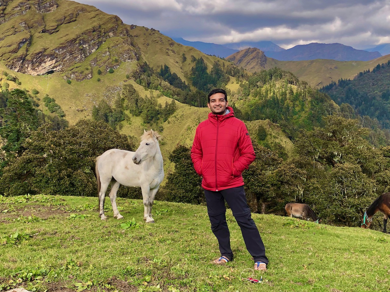
Therefore, go through quaint villages and explore two different cultures. In ancient times, the trail was a trade route. Thus, now it is frequently used by the shepherds in summers to find grasslands in the deserted Lahaul, Spiti valley.
The Hampta Pass and Chandratal Trek is a popular trekking route in the Indian state of Himachal Pradesh. Here are some highlights of the trek:
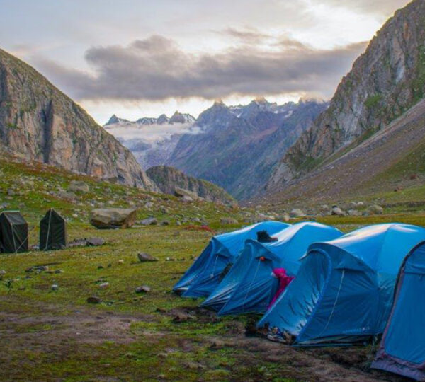
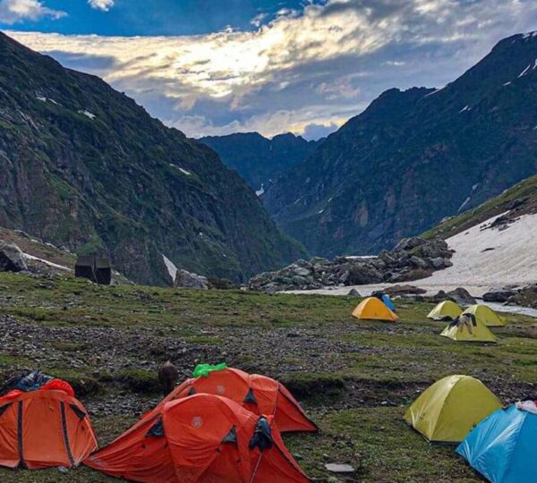
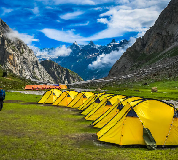
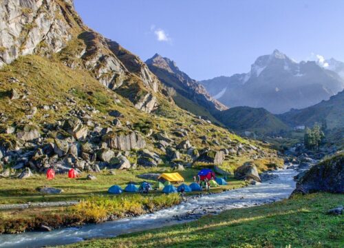
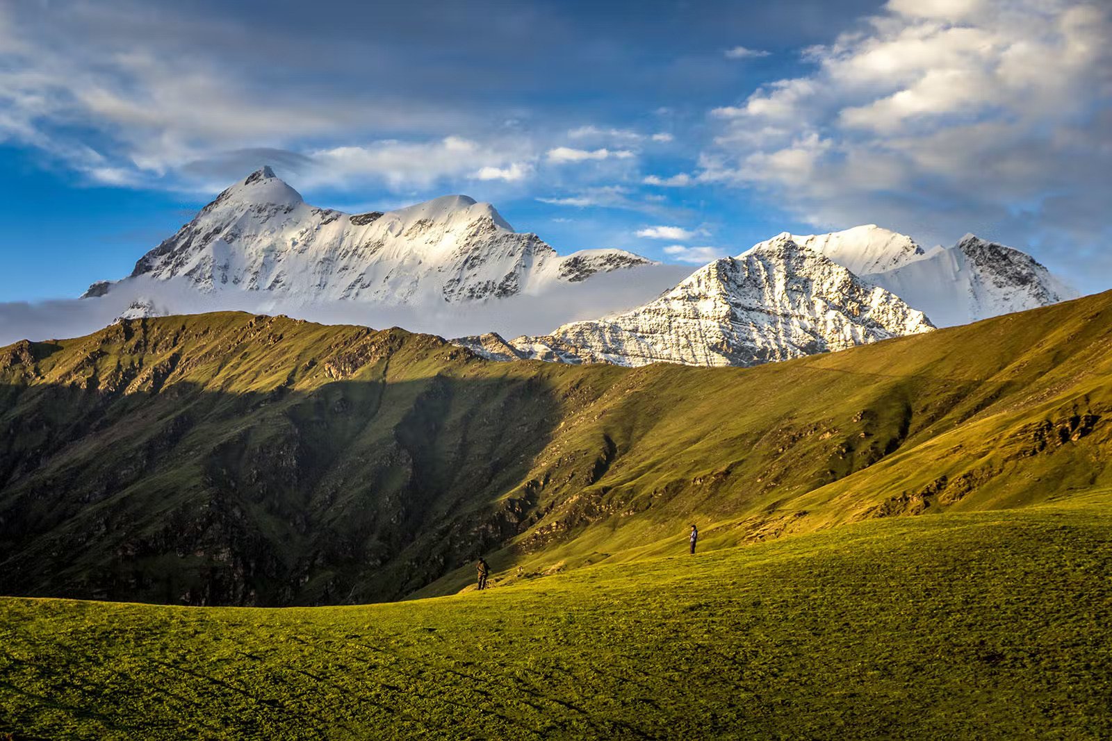
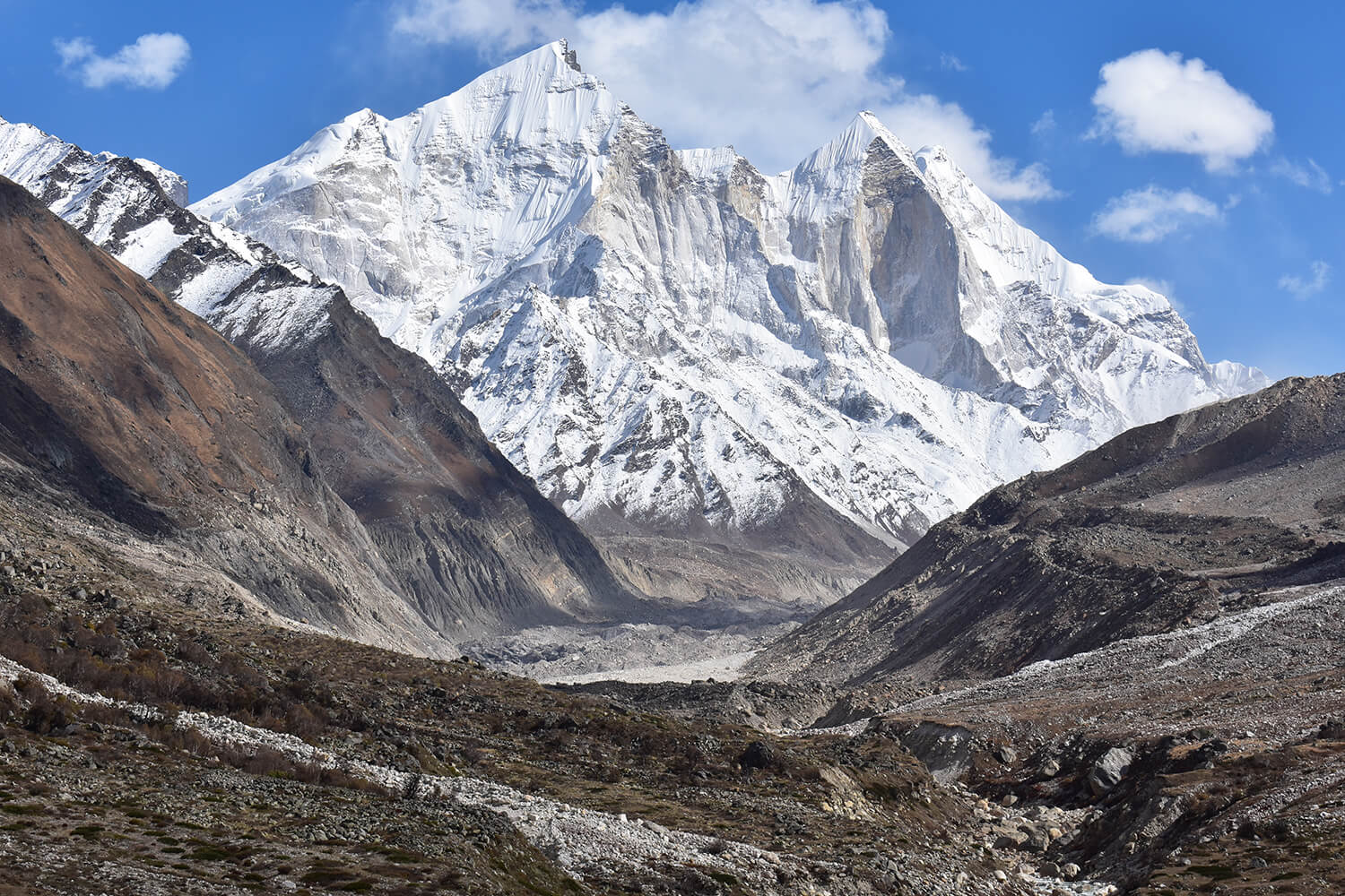
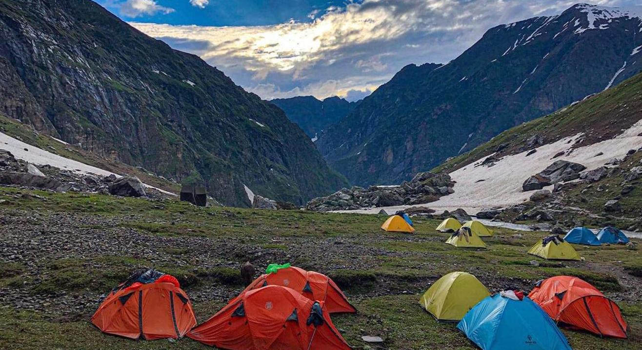
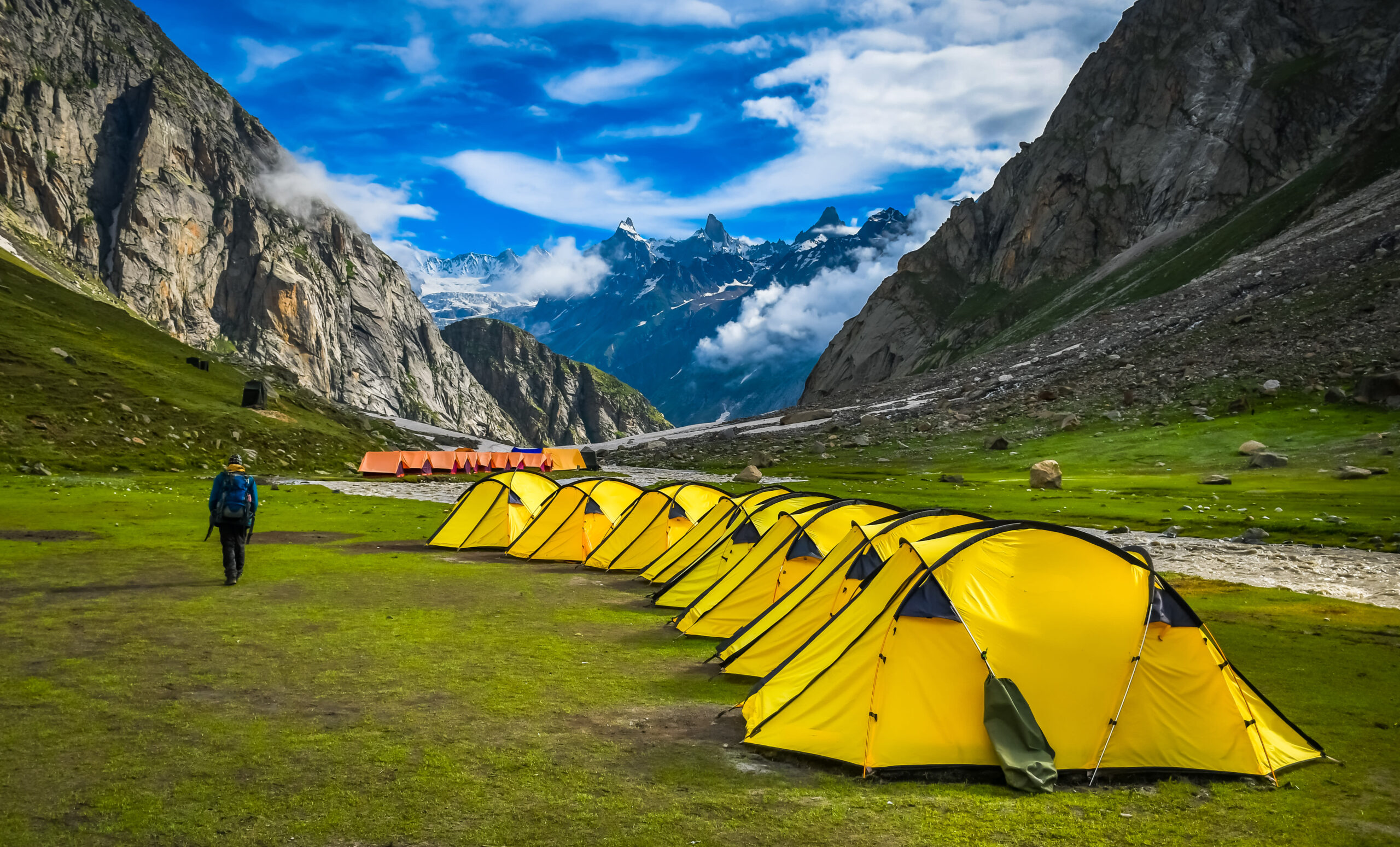
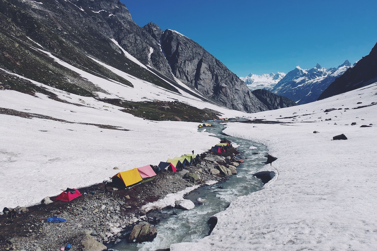
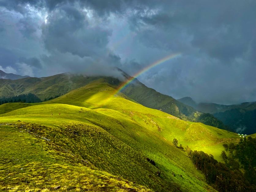
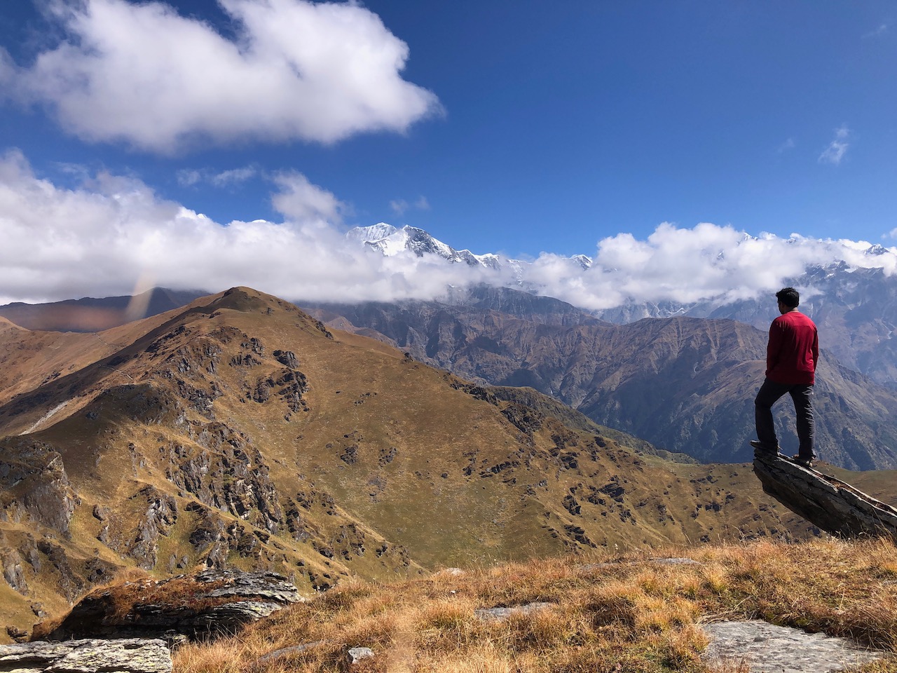
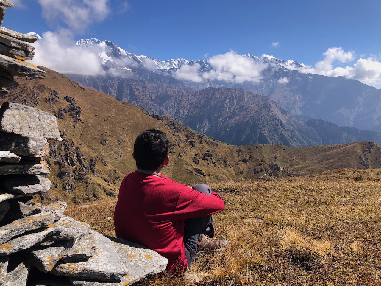
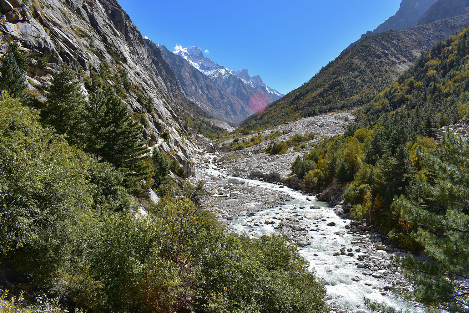
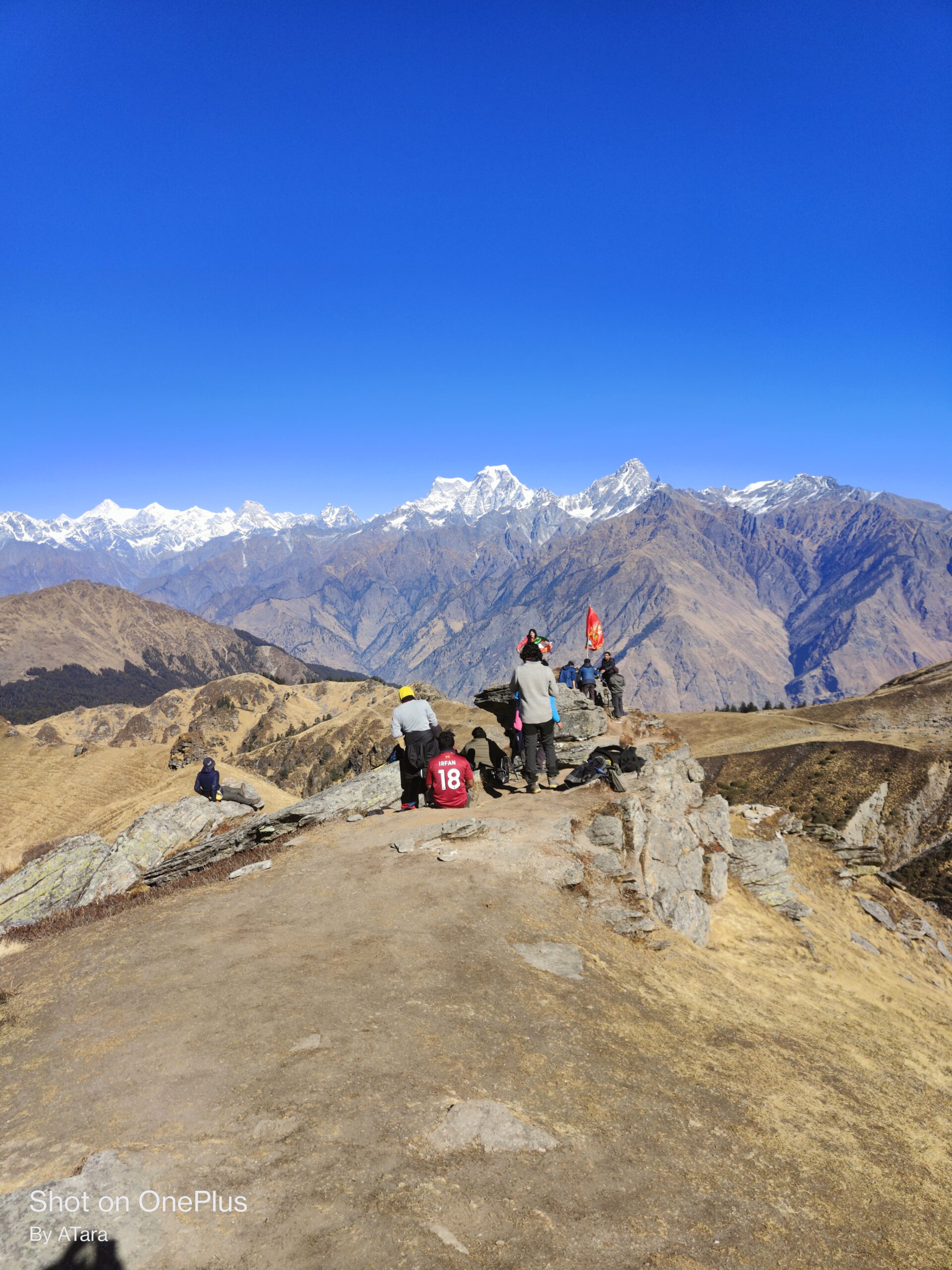
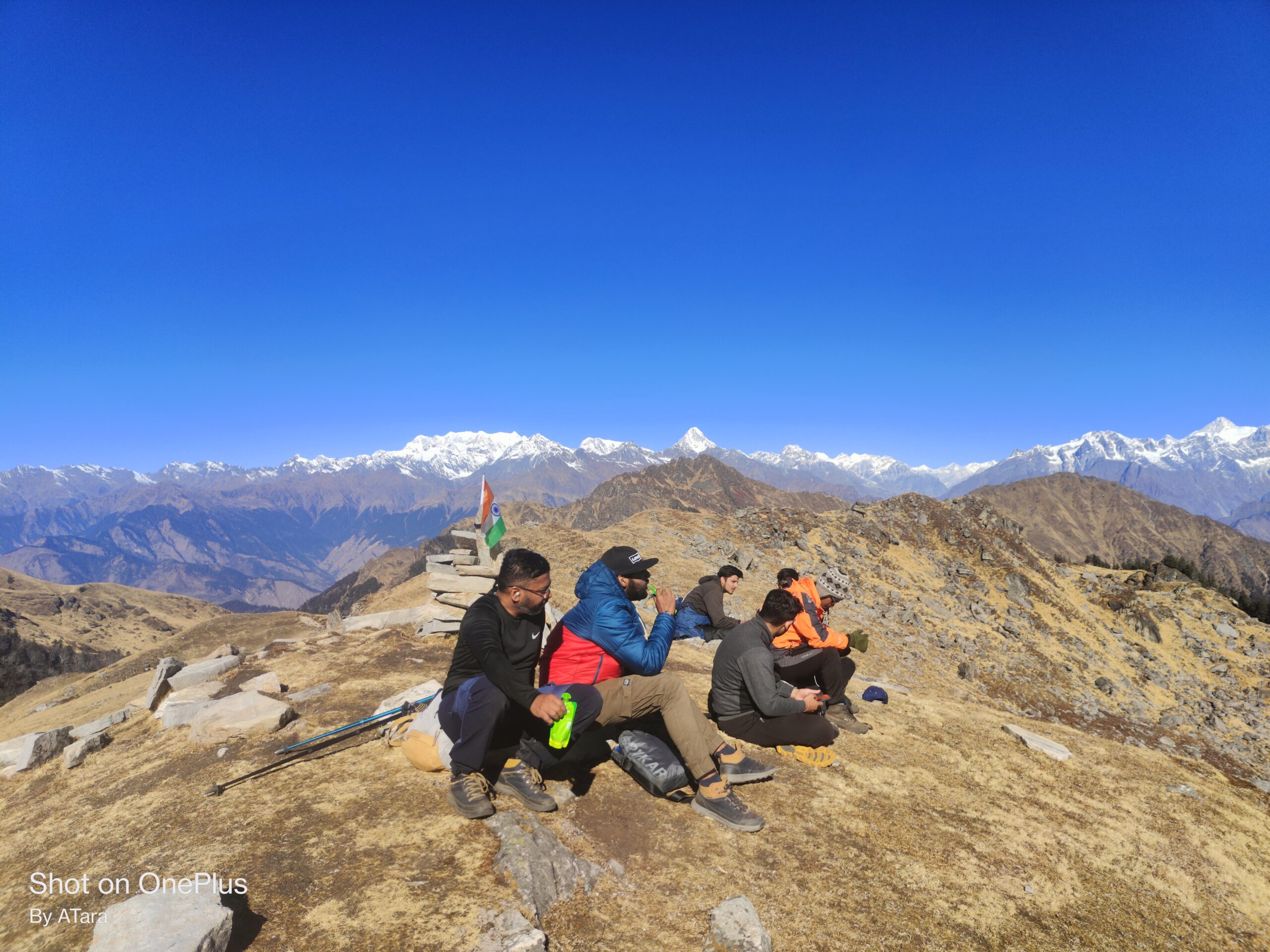
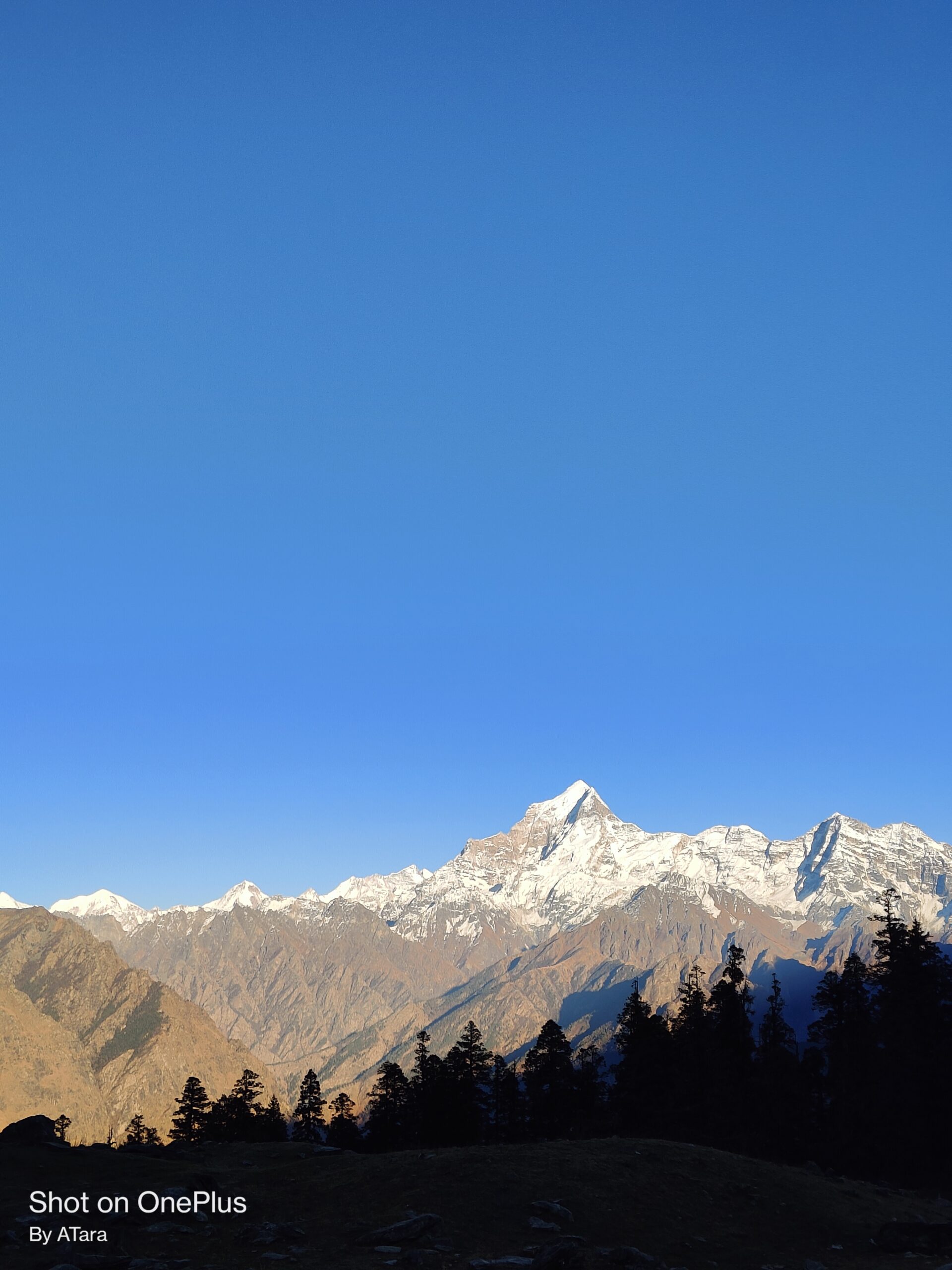
Beautiful Scenery: The trek offers stunning views of the snow-capped Himalayan peaks, lush green valleys, and the turquoise blue waters of Chandratal Lake.
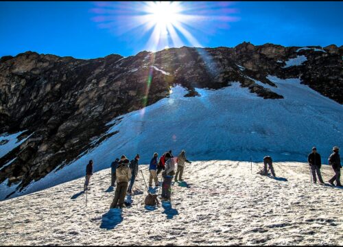
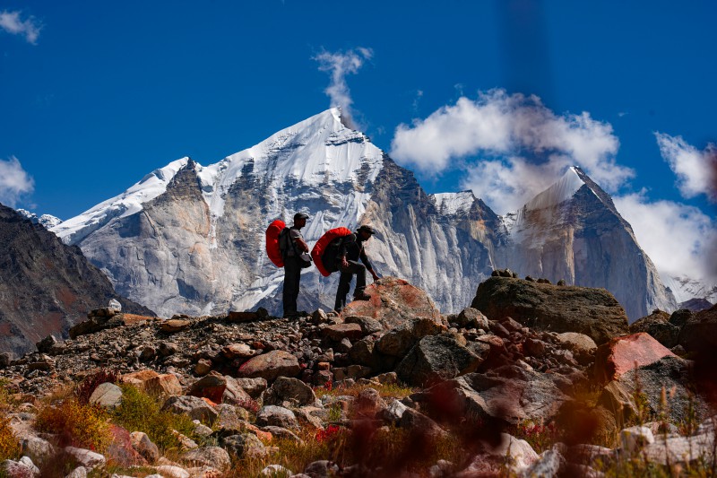
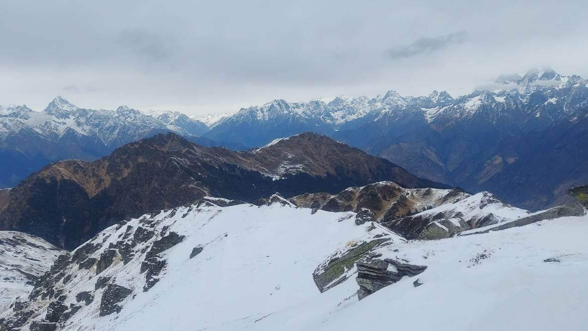
Hampta Pass: The trek takes you through the Hampta Pass, which is located at an altitude of 4,270 meters above sea level. The pass offers breathtaking views of the surrounding mountains.
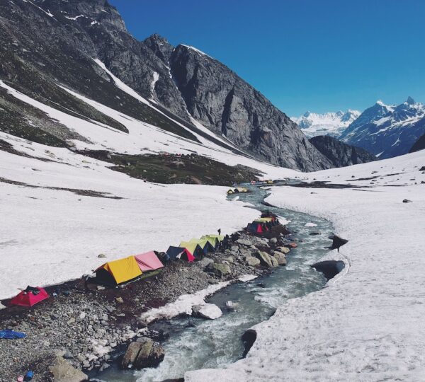
Chandratal Lake: The trek also takes you to the beautiful Chandratal Lake, which is located at an altitude of 4,300 meters above sea level. The lake is known for its clear blue waters and is surrounded by snow-capped mountains.
Cultural Experience: The trek takes you through several small villages where you can experience the local culture and traditions of the people living in the region.
Moderate Trek: The trek is of moderate difficulty level and is suitable for both beginners and experienced trekkers.
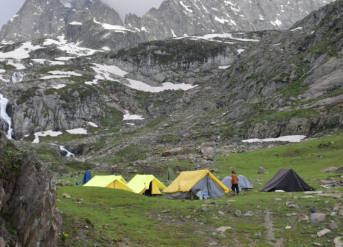
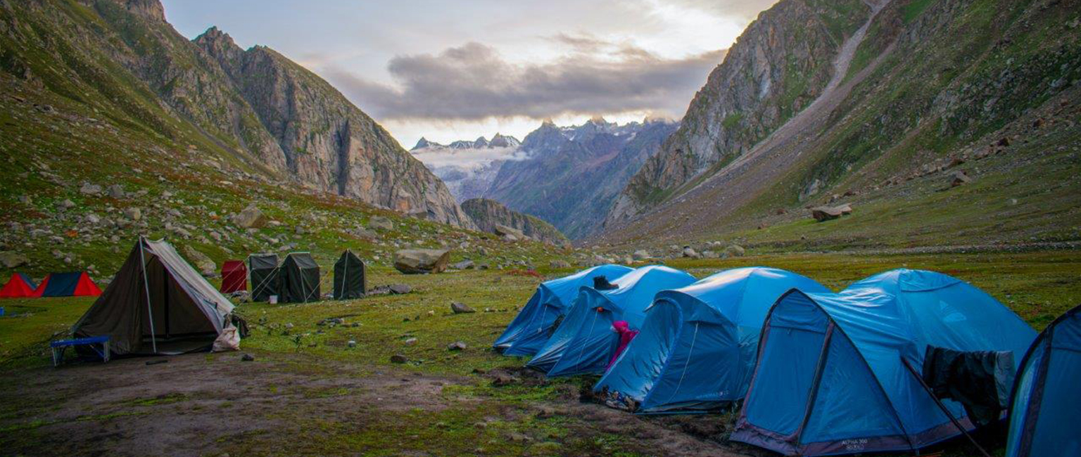
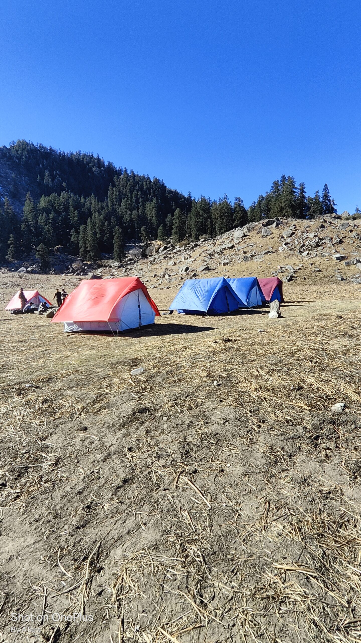
Camping Experience: The trek offers an opportunity to camp under the stars in the midst of the beautiful Himalayan mountains.
Overall, the Hampta Pass and Chandratal Trek is a must-do trek for adventure enthusiasts who want to experience the beauty of the Himalayas and the culture of Himachal Pradesh.
How to Reach Hampta Pass Trek
If you are traveling from Kolkata, Bangalore, Chennai, Pune, Mumbai or Gujarat any other city, so you will have to come to Delhi, you will get a flight from Delhi for Bhuntar comfortably.
Option 01:- By Air
Himalayan hikers tell you that whenever you travel, you should reach your destination within 2 hours. Bhuntar, Kullu airport is the nearest airport in Manali.
Located about 32 km for the Manali city. There are flights available to Bhuntar airport, you can go online and book your tickets. These are easy and easy ways for you and you also save your time, Bhuntar to Manali taxi available in airport 24×7.
If you find the flight to Bhuntar airport expensive, then you come by flight to Delhi or travel by bus from Delhi to Manali, and it will be easy for you. And many Volvo bus available.
Option 02:- By Bus
You can reach Manali from Delhi by a bus, board it from (Delhi) Kashmiri Gate, ISBT; it is good if you are booked the seats. It is a 10-11 hour bus journey from Delhi to Manali bus stand, near mall road.
(Reach Manali bus stand between 5:00 am to 6:00 am and the vehicle will be arranged from there.)
Key Points of Hampta Pass Trek
Duration: – 4 Nights 5 Days from Manali to Manali
Base camp: – Manali
Monsoon Temperature:- Day 5°C to 12°C) Night 2° C to 8° C
Hampta pass trek- Altitude: – 4310 Meters
Trek Level: – Moderate
Trek distance: – On foot 29 Km – By taxi 236 km
Group Size: – Maximum 25 peoples
Altitude we are going to cover in Hampta Pass Trek
Manali altitude– 2050 m
Cheeka camp altitude – 3078 m
Balu ka Gera altitude – 3783 m
Shea Goru camp altitude – 3735 m
Chatru camp altitude 3322 m
Chandratal altitude 4300 m
Rohtang pass altitude 4114 m
Best Time To Visit
June, July, August, September
Difficulty Level
The Hampta Pass trek is Moderate
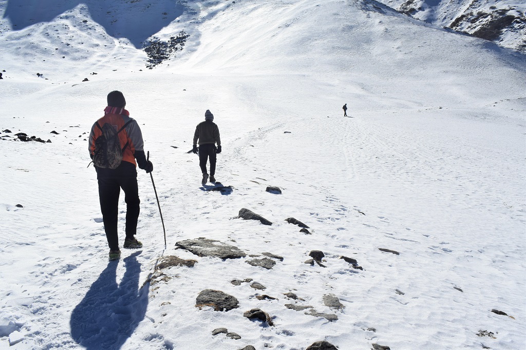
Rapid Altitude Gain
Lack of easy emergency exits
Small tricky sections
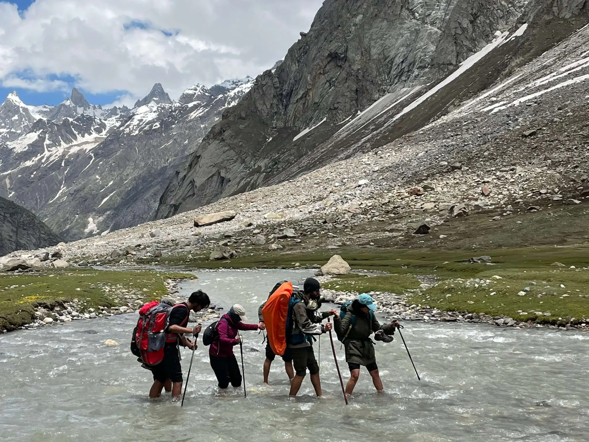
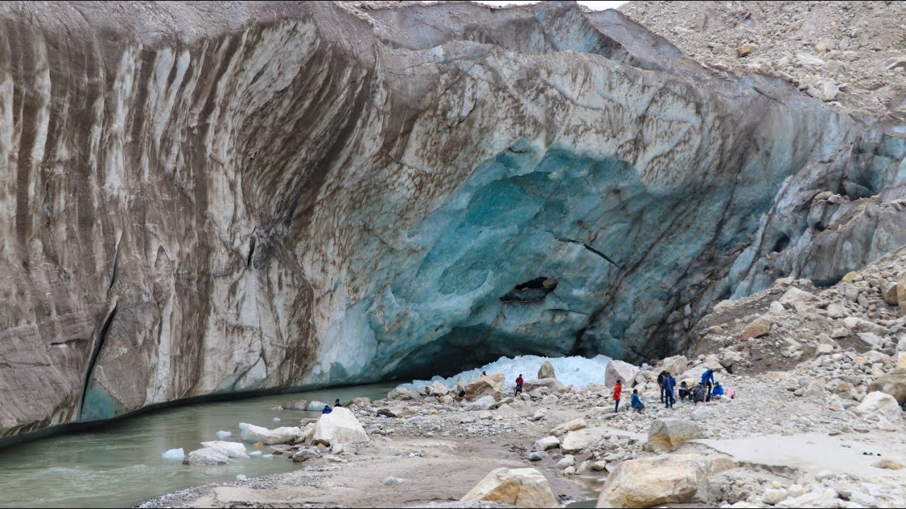
River crossings
Rapid Altitude Gain
The first reason is that it climbs a very high altitude quickly, i.e.14,000 feet.
During the drive from Manali to Jobra, you gain an altitude of 3,000 ft. Later, in the next two days, you will reach 14000 ft.
It’s a rapid altitude change, and consequently, there are many cases of altitude sickness on this trek. Most of the time, we identify the symptoms initially and provide medication; however, that’s not always possible.
Lack of Easy Emergency Exits
Exiting is not easy on this trek, so once you get deep into the trek, especially from a place like Balu ka Ghera. You have to exit through the valley by trekking, as roads are not easily accessible. Therefore, the chances of AMS are high, so it’s essential that you read about altitude sickness before you go on this trek.
Small Tricky Sections
Tricky sections on Hampta Pass are another reason for rating this trek as Moderate After crossing the pass, you reach Lahaul, which has a desert-like and rocky terrain. It also has overhangs overlooking the river.
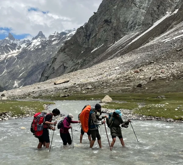
River Crossings
Before crossing passes, there are some river crossings and some overhangs. Our team will be fortifying these sections with ropes or stationing themselves there to help you cross them.