Overview
Borasu Pass or Bara-su (el. 5,450 m or 17,880 ft)[1] is a high mountain pass in the Himalaya Mountains of Uttarakhand in the India. The pass is located on the border of Uttarakhand and Himachal Pradesh near the border with Tibet. It was an ancient trade route between Har Ki Doon valley and Kinnaur valley.
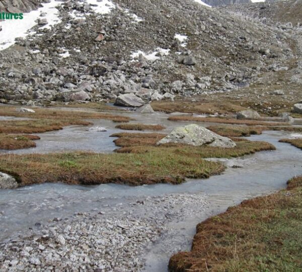
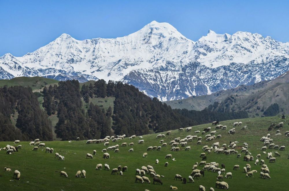
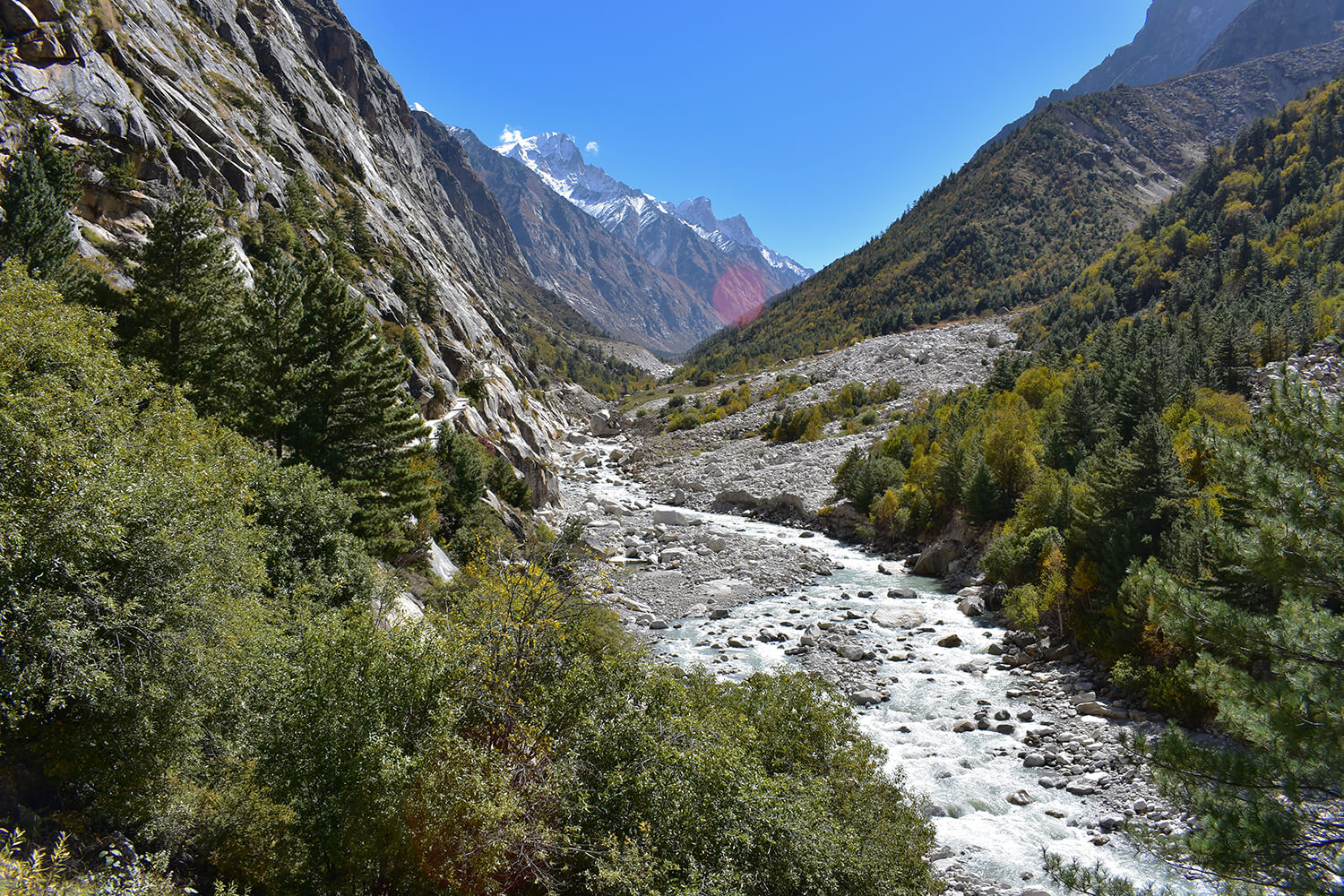
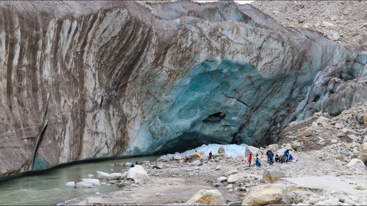
Borasu Pass divides Uttarakhand from Himachal Pradesh. The pass is located only a few kilometers from the Tibet border. The east part of the Borasu area comes out from Tons valley and the north-west part is merged with Baspa valley. Its north-west range comes down on Jhukia Glacier. The nearest village, Chitkul, is 20.3 km (12.6 mi)away from the pass.[2] on the Himachal Pradesh (Kinnaur valley) side and Osla village on the Uttarakhand side of the pass.
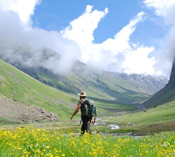
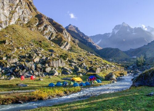
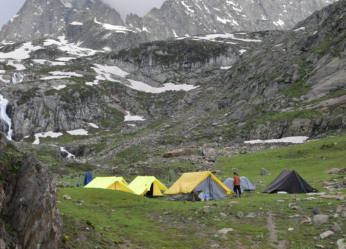
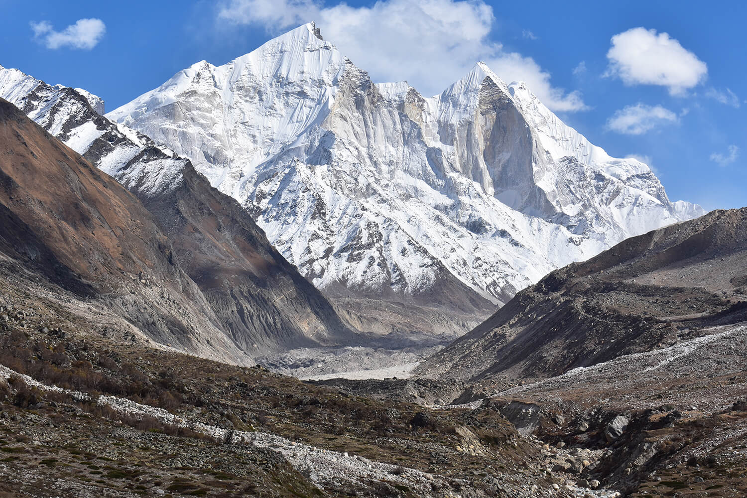
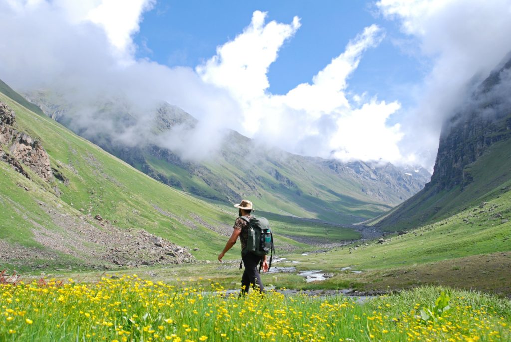
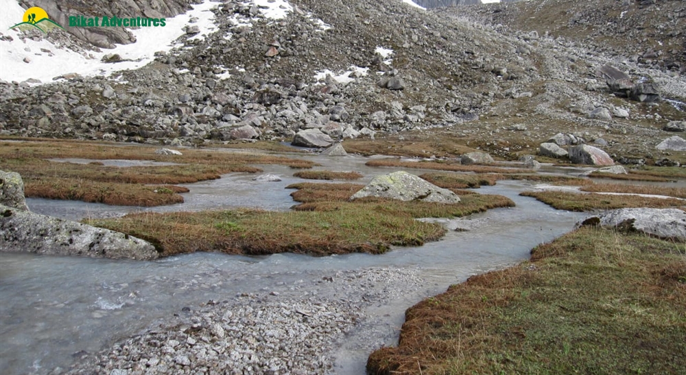
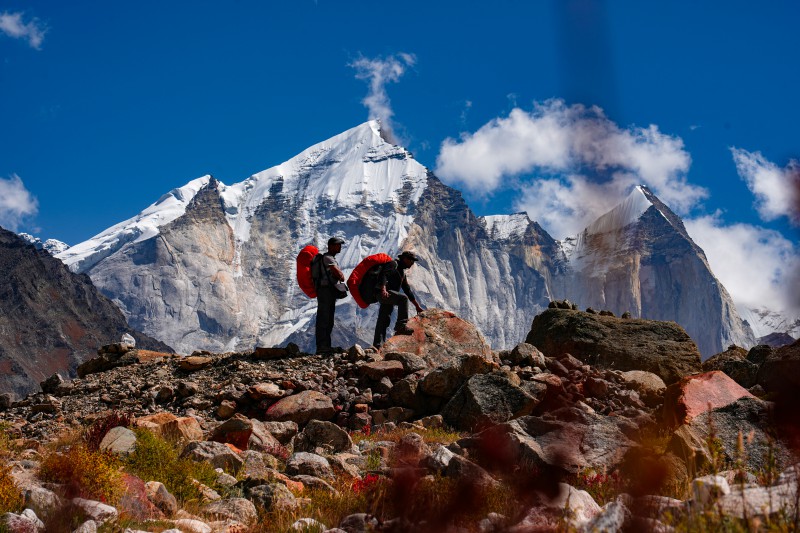
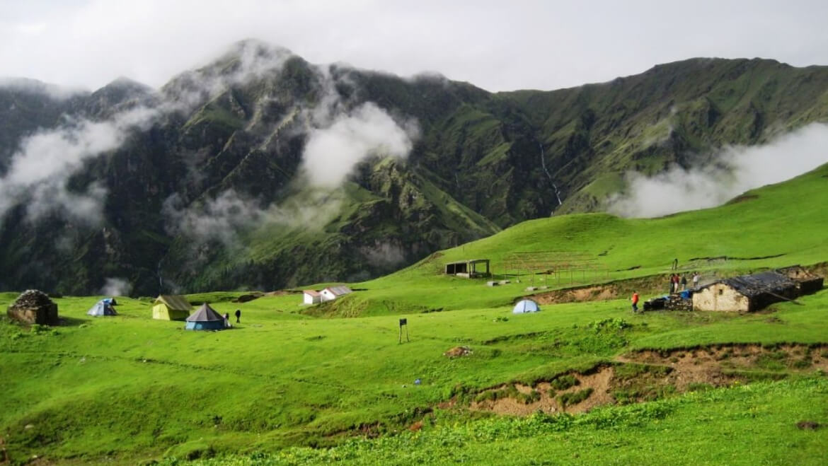
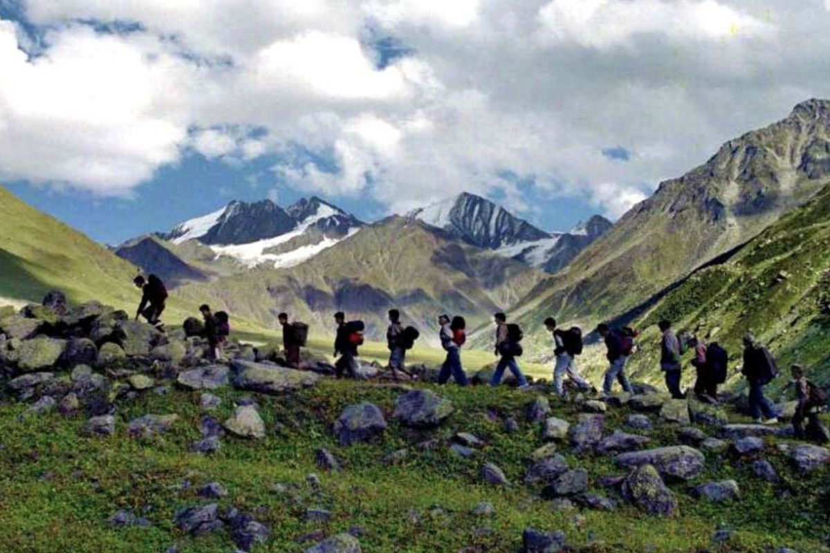
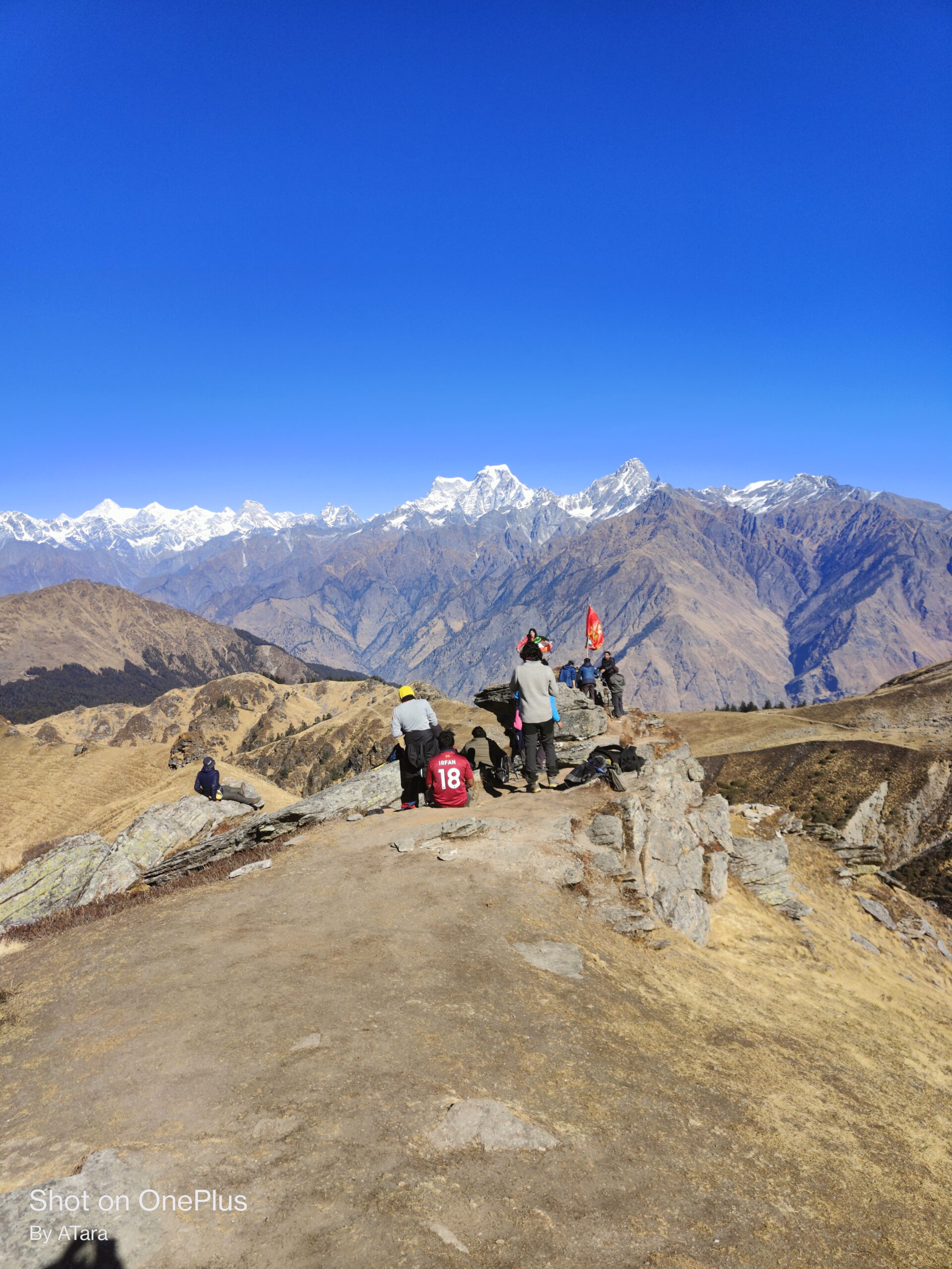
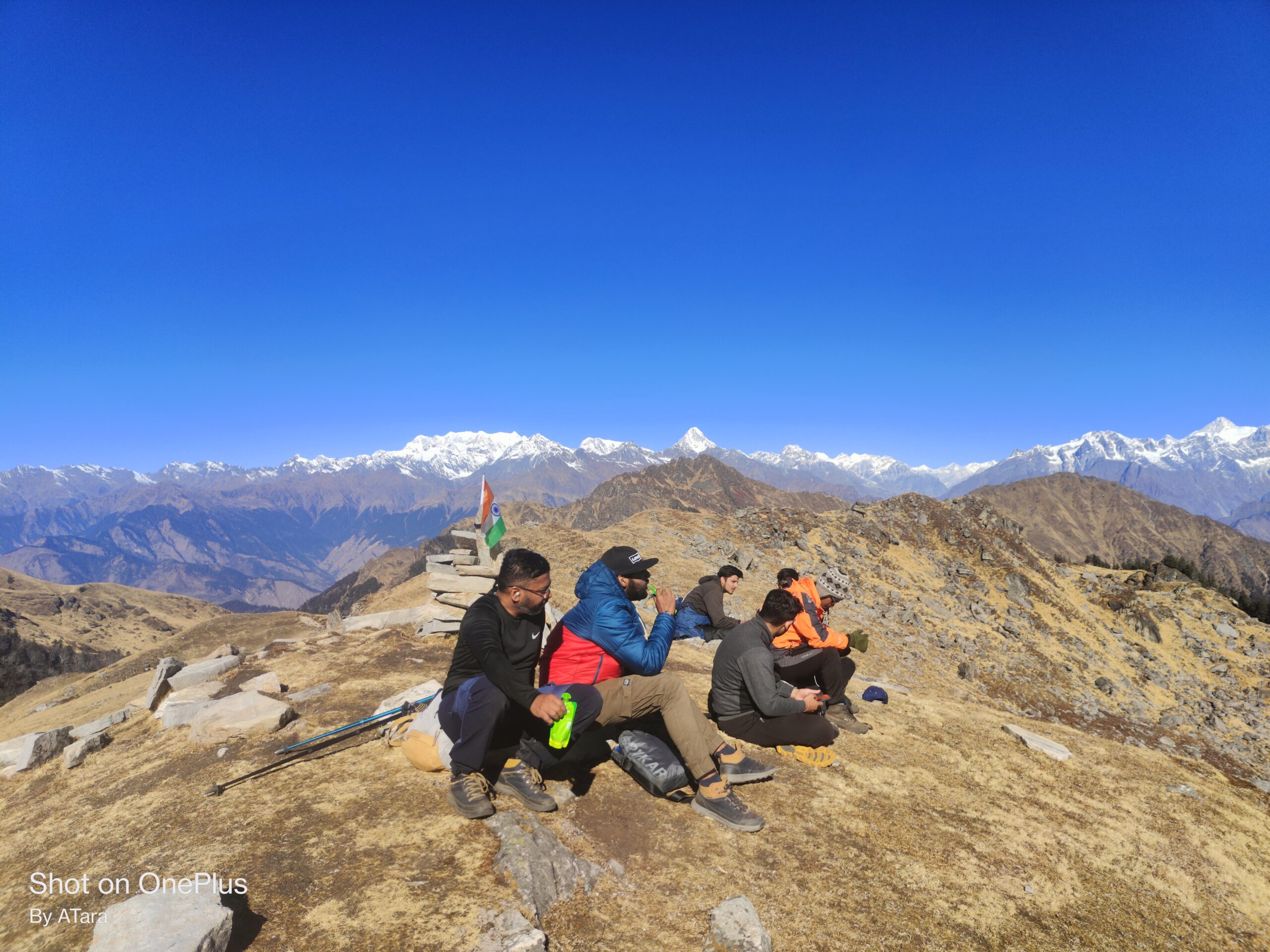
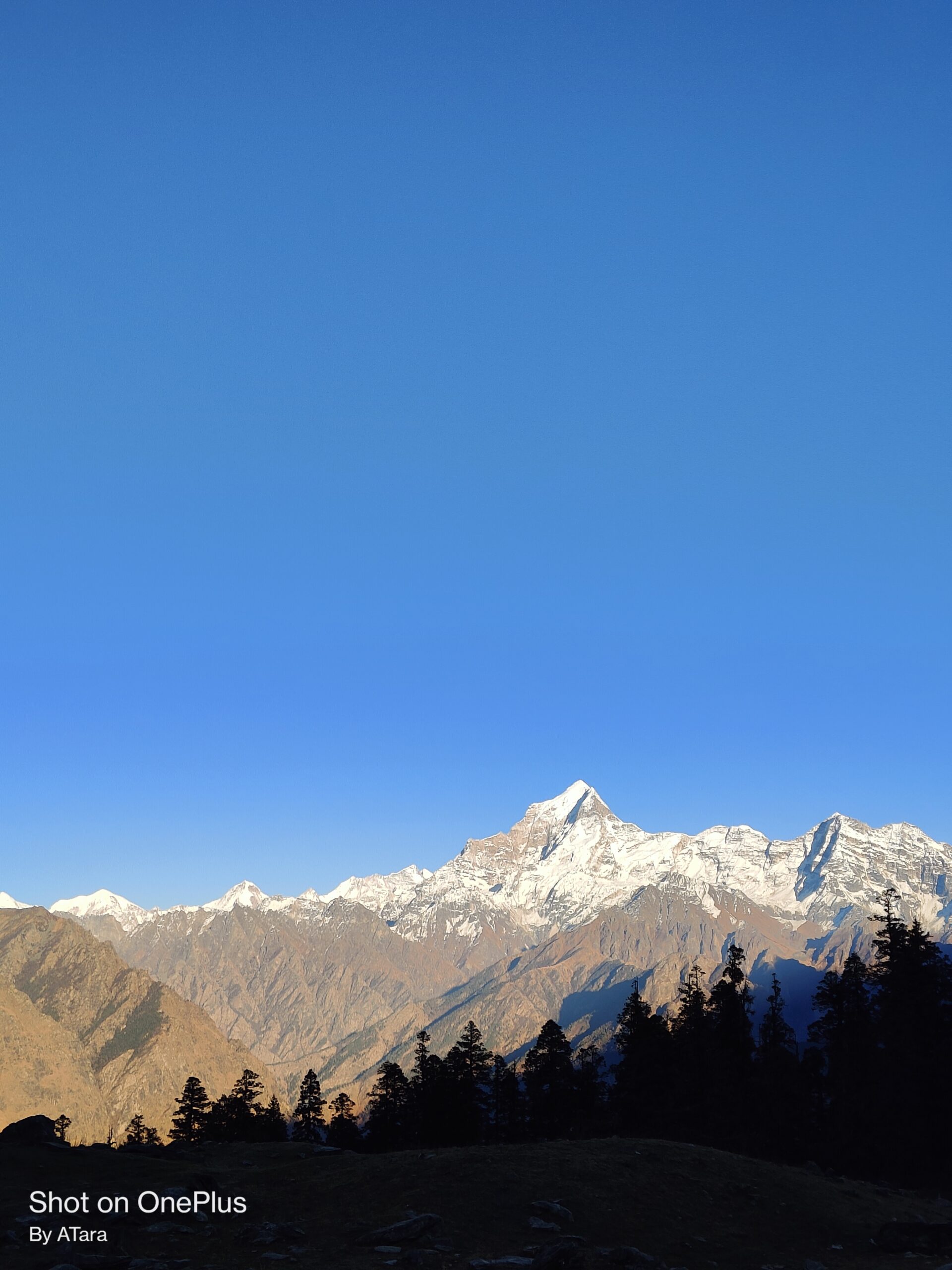
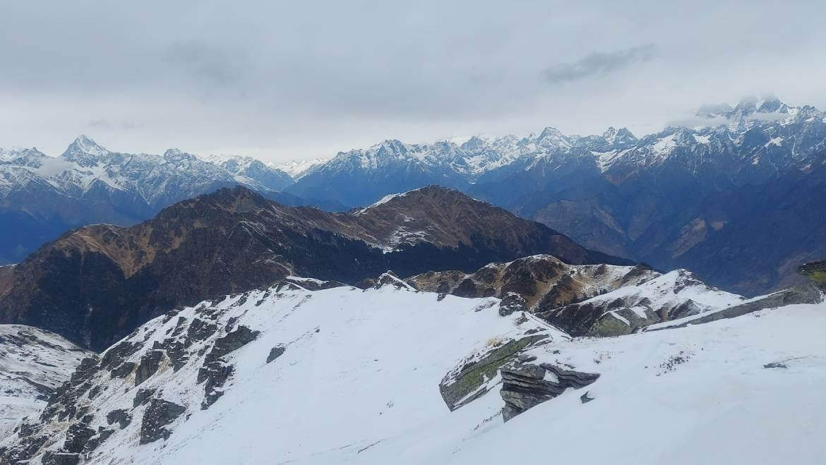
Approach to the pass is marked by grasslands. Mountains Bandarpunch, Black Peak or Kalanag, Swargarohini and Har Ki Doon may be observed from the pass.
.
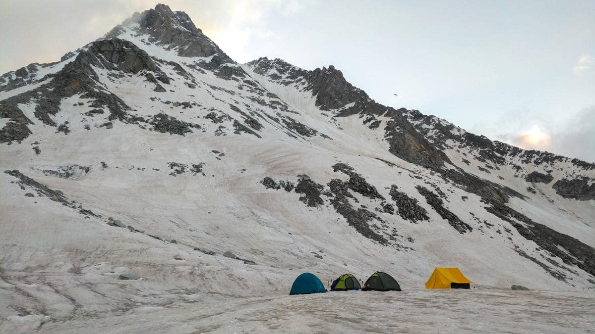
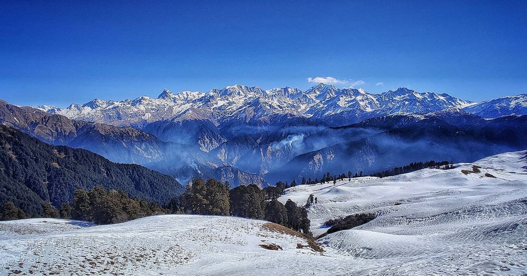
In summer, temperatures range from 0 °C (32 °F) to more lower. After November, the temperature falls down to several degree lower from 0 °C (32 °F). Precipitation in Baspa Valley is low in scale. Comparatively in the side of Tons valley rainfall is often common. Generally, snowfall is received after October
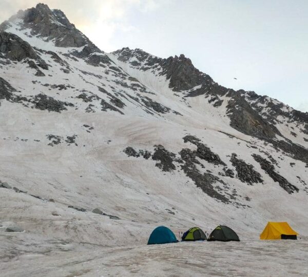
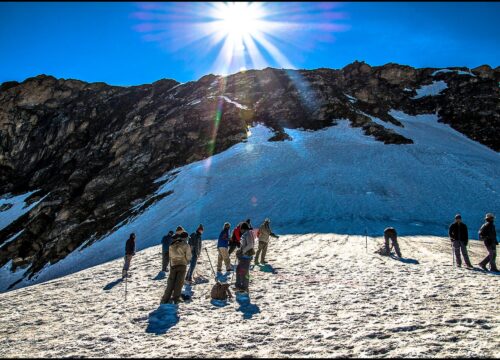
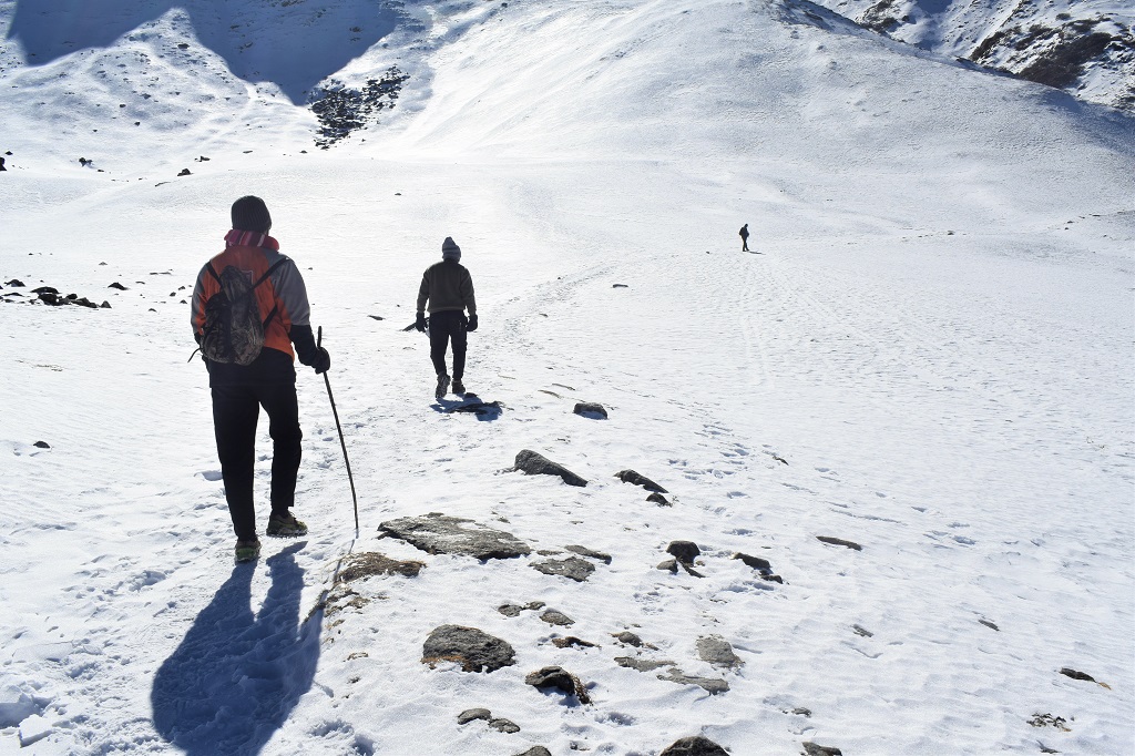
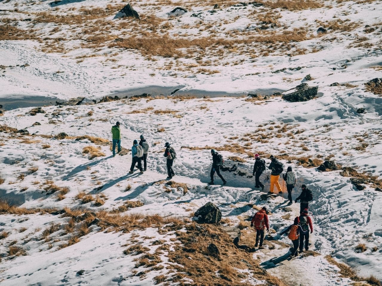
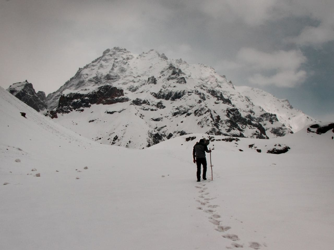
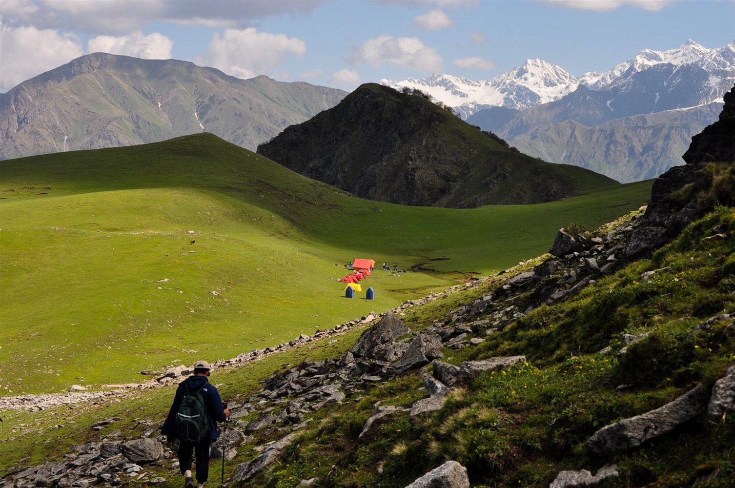
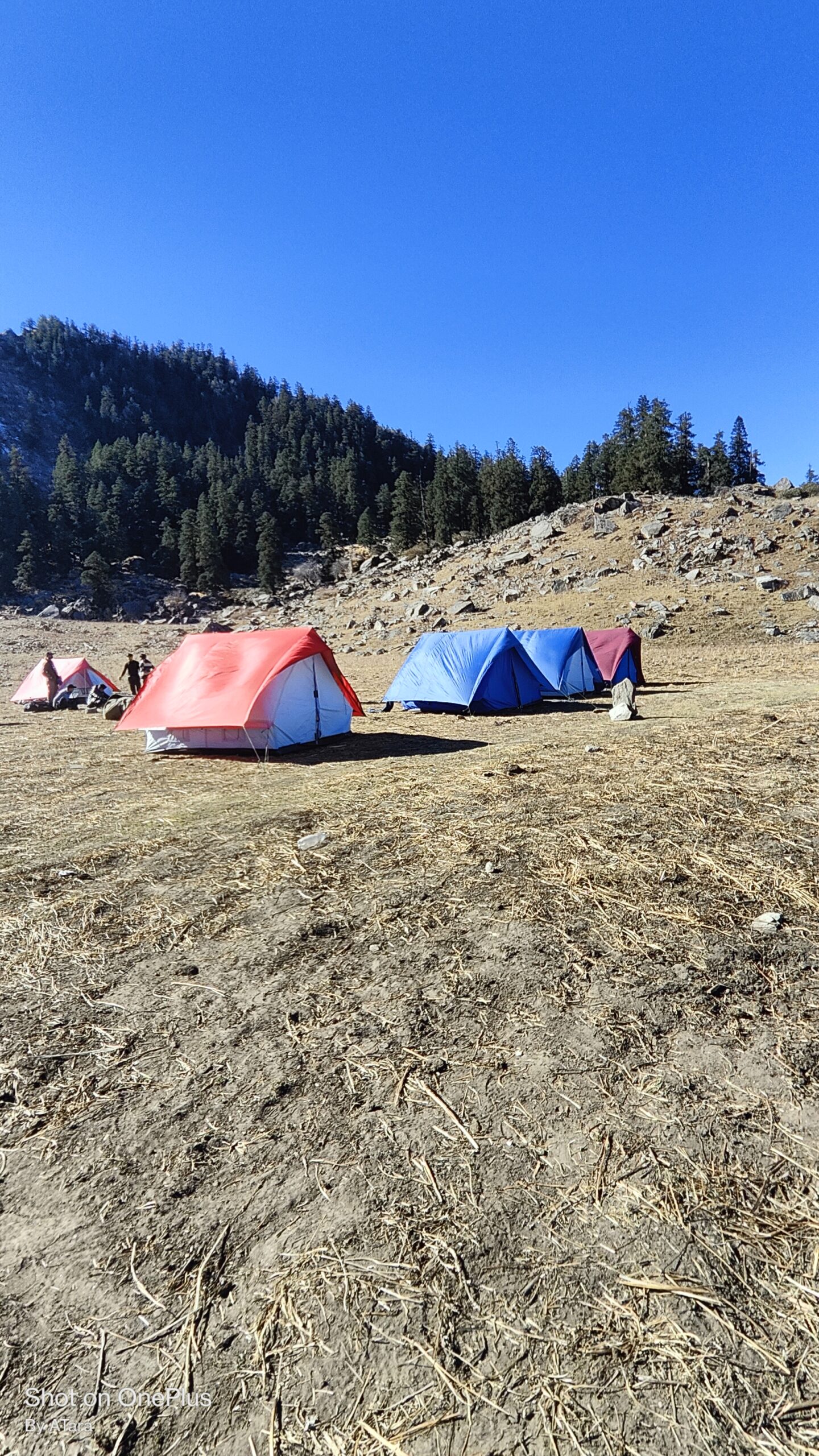
Borasu Pass is one of the many passes that link Uttarakhand and Himachal Pradesh. The Tons River Valley and the Baspa River Valley are linked by it. From Har Ki Dun forest rest house to Chitkul road head in the Baspa Valley, it is a high but practical traverse into the great Kinnaur Valley that takes 3 to 4 days. The trail heads north from Har ki Dun along with the Marinda Gad (river). The ascent becomes easier after that, and the route winds up for about 5 kilometers through a flower-strewn narrow valley. We climb for about 4 kilometers to the pass, passing by a glacier to our right. Then we make our way down the rocky slopes to the Baspa bed. The trek to Chitkul from the camping ground here is relatively straightforward. The Borasu pass is located at a height of 5,450 meters. As a result, it’s ideal for thrill-seekers
Best time to visit and explore
The best time to visit Sar Pass Trek is during the summer months of May to June and September to October. These periods offer favorable weather conditions and clear skies, making it easier to navigate the trekking route and enjoy the stunning views.
During May to June, the weather is pleasant, and the snow starts melting, revealing beautiful meadows and vibrant landscapes. This period is considered the pre-monsoon season, and the temperatures are moderate, ranging from 15 to 20 degrees Celsius during the day and dropping to around 5 degrees Celsius at night.
September to October is also an excellent time for the Sar Pass Trek. It is the post-monsoon season, and the weather remains relatively dry and stable. The temperature during this time ranges from 10 to 15 degrees Celsius during the day and can drop to freezing temperatures at night.
It’s important to note that weather conditions can vary, so it’s advisable to check the local weather forecast before planning your trek. Additionally, be prepared for sudden weather changes and carry appropriate clothing and gear to ensure a safe and enjoyable experience.
Key Points
Sankri – 1920 Meters
Cheludgad camp – 2600 Meters
Har Ki Dun Camp – 3645 Meters
Rata Dho camp – 4105 meters
Upper Lamjunga Camp – 4899 Meters
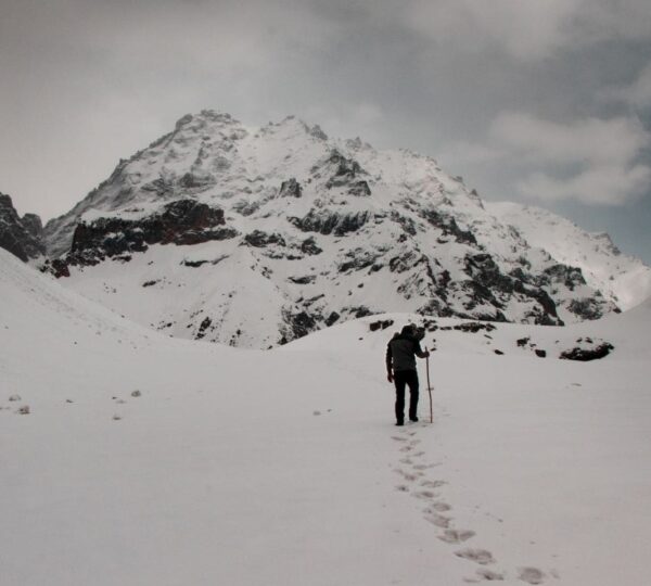
Borasu Pass Summit – 5,450 Meters or 17,880 feet
Rani kanda – 3420 Meters
How To Reach Borasu pass Trek
To reach Dehradun
The best way to reach Dehradun is to take an overnight train from Delhi.
12205 Nandadevi Express – 23.50 – 3.55
There is a direct bus from Dehradun to Sankri. It leaves at 6 am from Dehradun Railway station. Be there by 5.40 am to get a seat.
If you are reaching Dehradun late, you can take a bus to Purola/Naugaon and then a connecting bus to Sankri. The last bus leaves from Dehradun Railway Station at 12 noon. If you reach Purola late, you can stay there overnight.
If you are taking a hired taxi, the route is pretty straightforward. First, head to Mussoorie, then move down to Yamuna Bridge, via Kempty falls. Then follow the Yamuna on your left until you reach Damta and further on to Naugaon. Cross the Yamuna at Naugaon and head towards Purola. The route immediately turns scenic, with pine trees overlooking the road.
At Purola break for lunch. From Purola, the route gets more mesmerising with the road climbing up and descending through thick pine forests until you get to Mori along the Tons River. (5 km out of Purola try to locate the south face of the Kedarkantha peak on your left. The highest peak, it is not difficult to spot.) From Mori, follow the Tons to Naitwar, again through some breathtaking mountain scenery. At Naitwar, the road branches off to the right along the Supin, until you get to Sankri an hour later.
Borasu Pass Trek is safe?
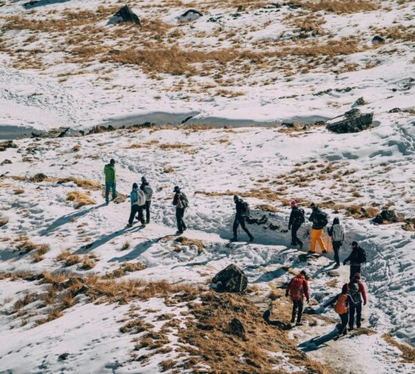
Borasu Pass is a high-altitude pass with a daunting approach and certainly not meant for first-time trekkers or for the faint-hearted. While the route is moderate for the most part, the final incline to the pass and the descent to Ranikanda camp in Chitkul valley makes it a difficult pass crossing. Staying attentive while trekking ensures safety. However, euttaranchal.com always provides its trekkers with professional guidance and supervision. Your safety is our utmost priority.
Why Choose Borasu Pass Trek?
One of the most admired treks in Uttarakhand is the Borasu Pass trek. This trek is meant for seasoned trekkers only. It’s a so challenging crossover from the beautiful Tons Valley in Uttarakhand to the alluring Baspa Valley in Himachal Pradesh. The beauty and the grandeur found on this trek are unmatched. One can feel the beauty of central Himalayas and this can be the best experience for the trekkers to choose. Borasu Pass trek itinerary makes it less tiring for the trekkers.
Weather Condition
The Borasu Pass trek has different temperatures depending on the time and how high up you are. It’s best to go in May-June or September-October when the weather is good for trekking.
In May-June: In lower places, it’s about 15°C to 20°C in the day, but higher up it can get as cold as 5°C to 10°C. At night, especially up high, it can go below freezing.
In September-October: In lower places, it’s about 10°C to 15°C in the day, and higher up it can get to 5°C to 10°C. At night, it’s about 2°C to 8°C in lower areas, and -2°C to 4°C up high.
July and August: It’s not a good time because there’s lots of rain and the weather is unpredictable. It can be between 15°C to 25°C in the day and 10°C to 15°C at night.
November to April: It’s too cold and snowy for most people. In the day, it’s between -5°C to 5°C, and at night, it can go below -10°C.
Difficulty Level : Borasu Pass Trek
The altitude of Borasu Pass Trek is 17,224 Ft. one can attain the maximum altitude depends on the subject to his endurance, and other conditions such as a climate, temperature.
The thing that one has to keep in mind is to take the proper medication, though we provide every possible thing, but it is always better to keep your medicines.
According to your health, Hydration is the most important when you will trek to the higher altitude, so keep your body hydrated while trekking.